 Recent headlines about the discovery of a new continent in the southwest Pacific are a bit misleading. Some huge, rogue orogenic landmass did not suddenly rise from the depths of the ocean while everyone was sleeping. What’s more, even though China continues to manufacture its own artificial islands, Peking has nothing to do with the latest attention being garnered by the maritime region. The area in question, Zealandia, surely has been there for a while, to say the least. Something else must have changed.
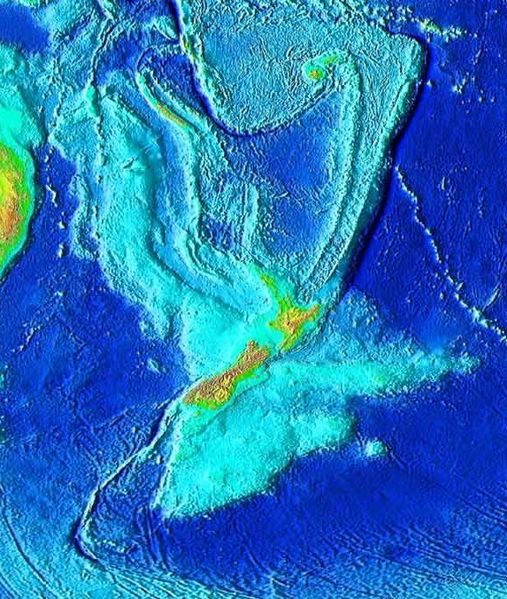
Submerged off the coast of New Zealand is a granite, sandstone and limestone landform roughly 1.5 million square miles, about the size of India. Named Zealandia in 1995 by geophysicist Bruce Luyendyk, experts now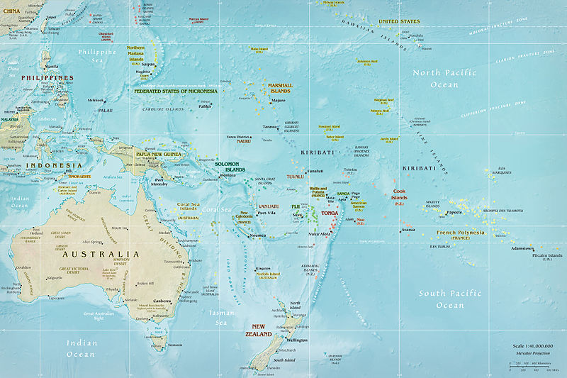 suggest the underwater formation is not comprised of different islands as previously believed, but rather one large landmass. New Zealand and other islands in the region, like New Caledonia, are merely the visible part of Zealandia that lie above the waterline. But make no mistake; this is not an aquatic mirage.
 According to a recently published paper in GSA Today, the journal of the Geological Society of America®, Zealandia should be recognized as a full-fledged continent. As far as landmasses go, the article suggests the area in and around New Zealand is actually “the seventh largest geological continent” as well as being “the youngest, thinnest and most submerged.” That’s right, as in “94%”underwater and between 2500 and 4000 meters deep. You probably thought all continents were visible to the naked eye, but think again. The official working geological definition includes continental shelves.
The scholarly argument in GSA Today makes a case for Zealandia, the continent, by citing elevation, geology, crustal structure, area, development and tectonic significance. But has Zealandia really gone undetected for all these years? The rock strata and crustal intrusions always have been there. Perhaps more to the point, how we see, think and communicate probably has changed from when Zealandia was initially discovered. As a whole, geophysical mapping technology, including space exploration, has significantly advanced. Consequently, the amount of information being exchanged is unequaled owing to to the ease of contemporary digital communication. All things considered, we almost certainly look at our environment in a much different way. That includes the continents, wet or dry.
Video: “Is Zealandia the Eighth Continent?”- euronews (English)/YouTube
Photos: Topographical map of the Zealandia continent – World Data Center for Geophysics & Marine Geology (Boulder, CO), National Geophysical Data Center, NOAA/public domain/Creative Commons (CC);
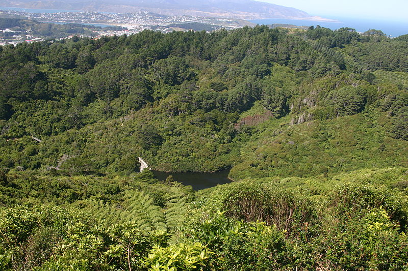
Karori Reservoir from Wright’s Hill, Wellington, New Zealand -Tony Wills own work/CC;
Map of Oceania, from a CIA factbook – public domain/CC;
Usage of photos does not constitute endorsement.
Paul Wolfle has a B.A. in Geography from Hofstra University; and an ARM (Risk Management) insurance certification.

that is so cool how long ago did you guys find it because this came out of no where
Hi Angelina!
They knew about this for a while but it just recently gained some publicity. I know, it is pretty cool.
Thanks for your input Angelina.
Paul